The team consists of a large group of motivated scientists. The core group consists of the following members.
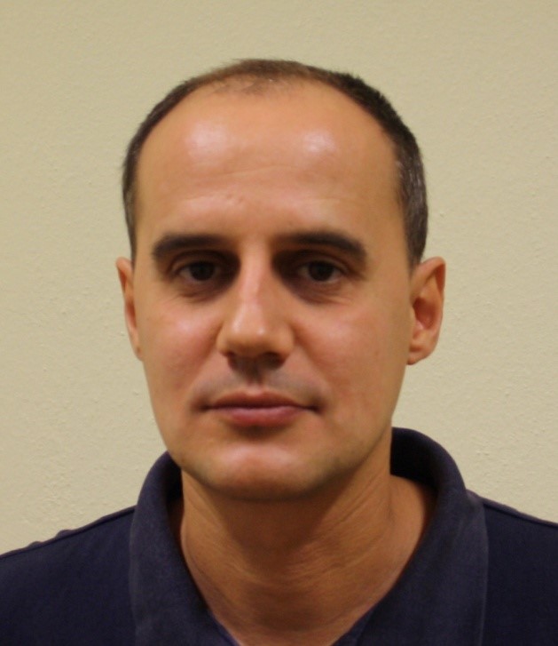
Dr Thomas Alexandridis (http://orcid.org/0000-0003-1893-6301) is an Assistant Professor in the Lab of Remote Sensing and GIS, Faculty of Agriculture, AUTH, Greece. He is an agronomist with a specialization in Applied Remote Sensing that started with a Masters’ Degree in Cranfield University (United Kingdom) in 1996 and continued with a PhD from the School of Agriculture (AUTH) in 2003 in close collaboration with the International Water Management Institute (Sri Lanka and Pakistan). His research interests include digital image processing techniques and geographic analysis of spatial data for mapping agricultural resources (vegetation, soil and water), emphasizing on multiple scale issues in remote sensing and GIS. He has extensive experience in mapping vegetation types and monitoring vegetation parameters at wide scales (national and regional) using low resolution satellite images in several European countries, Pakistan and Mozambique. Fields of application include mapping crops, monitoring stress and land degradation using proximal and remote sensing data from satellites and UAVs in precision farming applications. He has authored and co-authored more than 80 journal and conference papers, and has participated in more than 20 research projects funded by the EU, European Space Agency, and various national sources, in several of them as Principal Investigator.
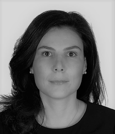
Dr Eleni Katragkou is Assistant Professor in the Department of Meteorology and Climatology, School of Geology, AUTH. She has BSc in physics and a MSc degree in atmospheric physics from AUTH, Greece and a PhD in atmospheric chemistry and physics from Heidelberg University, Germany. Her recent research focuses on regional climate modelling, climate impact assessment and distillation of regional climate information for selected climate services. She has 35 publications in peer review journals, h-index=15 and she is co-coordinator of the World Climate Research Program (WCRP) European-Coordinated Regional Downscaling Experiment (EURO-CORDEX). She is lecturing in under- and post graduate programs at AUTH. She has participated in more than 20 scientific projects with relevance to regional numerical modelling and impacts, and acts as AUTH-principal investigator in a Copernicus Atmospheric Monitoring Service (CAMS-84). For her research she has been awarded in 2012 with the national Unesco prize for young female investigators.
Dr Ioannis Pytharoulis is Assistant Professor in the Department of Meteorology and Climatology, School of Geology, AUTH. His research interests lie in Synoptic Meteorology and Numerical Weather Prediction focusing on extreme weather events. He is an expert on the use, development and validation of various atmospheric numerical models (such as WRF and SKIRON/Eta) and on the processing of model output and meteorological measurements for selected weather services. He is responsible for the operational weather forecasts (http://meteo.geo.auth.gr) and their verification in AUTH-MC. He received a Bachelor’s degree in Mathematics from AUTH (1994), an M.Sc. in Weather, Climate and Modelling (1995) and a Ph.D. in Meteorology (2000) from the Department of Meteorology of the University of Reading in the United Kingdom. His Ph.D. was funded by a Marie Curie /TMR fellowship of the European Union and focused on the African Easterly Waves. Afterwards, he was employed as a post-doc researcher in the Atmospheric Modelling and Weather Forecasting Group of the Physics Department of the University of Athens in Greece, a meteorologist in the Numerical Weather Prediction Division of the Hellenic National Meteorological Service, a weather forecaster and scientific consultant in the private sector and a Lecturer in AUTH-MC. He has participated in 28 national and international projects (principal investigator in three). He has 31 peer-reviewed research articles, 19 articles in book chapters and more than 60 research articles in conference proceedings h-index=10).

Dr Eirini Pantazi is Assistant Professor in the Laboratory of Agricultural Engineering, Department of Hydraulics, Soil Science and Agricultural Engineering, Faculty of Agriculture, Forestry and natural Environment, School of Agriculture, Aristotle University of Thessaloniki (A.U.Th.). She holds a PhD in Biosystems Engineering and is an expert in bio-inspired computational systems and data mining. Her research interests include precision farming, plant stress detection, sensor fusion, machine learning, non-destructive sensing of biomaterial and crop protection. Her main contribution has been in advanced contextual fusion framework from diverse information sources. One important aspect that she has developed concerns unsupervised fusion framework where sparse encoding produces latent variables capturing context from multimodal information. She has developed a meta-learning framework for lifelong learning in autonomous systems based on active learning and novelty classifiers based on one-class assemblies with dynamic conflict resolution. Recent research includes an application of active learning in a number of sectors from condition monitoring, crop status determination, weed species recognition and crop phenotyping as well as post-harvest quality determination. She has presented 30 relevant papers in international conferences and has published 12 papers in scientific journals and 5 book chapters in research monographs.
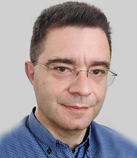 Dr Thomas Koutsos (https://orcid.org/0000-0003-4035-7971) is Teaching Staff (E.DI.P. Special Laboratory Teaching Staff) in the Laboratory of Remote Sensing, Spectroscopy and GIS, Department of Hydraulics, Soil science and Agricultural Engineering, School of Agriculture, Faculty of Agriculture, Forestry and National Environment, Aristotle University of Thessaloniki. He holds a B.Sc. in Geology, M.Sc. in Applied and Environmental Geology, and a Ph.D. in Geo-Informatics, Environmental Geology, and Geographical Information Systems. His scientific interests lay in the fields of Geo-Informatics, Spatial Analysis, Geographical Information Systems, protection of the environment, management of environmental impacts and wastes, Data Visualization, and Spatial Statistics. He has also a Microsoft Certified Systems Engineer Certification (M.S.C.E. + Internet) and expertise in SQL Programming, Crystal Reporting and Database Management. Dr. Thomas Koutsos is scientific reviewer in more than 25 scientific Journals most of them with high Impact Factor. He has also more than 30 scientific publications, such as research articles in international journals of SCI, chapters in scientific books and series, posters and articles published at conference proceedings and workshops and he has been involved to at least 10 European co-funded projects.
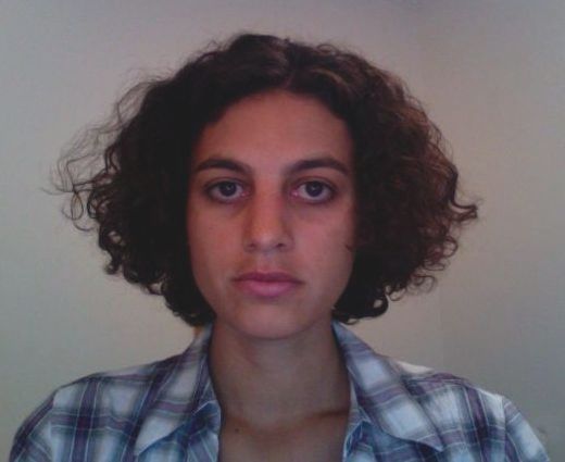
Ines Cherif (https://orcid.org/0000-0001-7160-511X) is a physics engineer, specialized in image processing, GIS analysis, remote sensing, and data modelling for monitoring vegetation and soil water parameters. Her main research topics are related to the use of earth observation data, including thermal, optical, and radar satellite imaging, for mapping evapotranspiration, soil moisture, and surface water as well as assessing floods, land degradation, and desertification, with a focus on the EU-Mediterranean and African areas. She has been involved in numerous EU and national projects, authored and co-authored about 20 conference and journal publications. She took part to various international scientific and dissemination events and is used to work in a multi-cultural and disciplinary context.
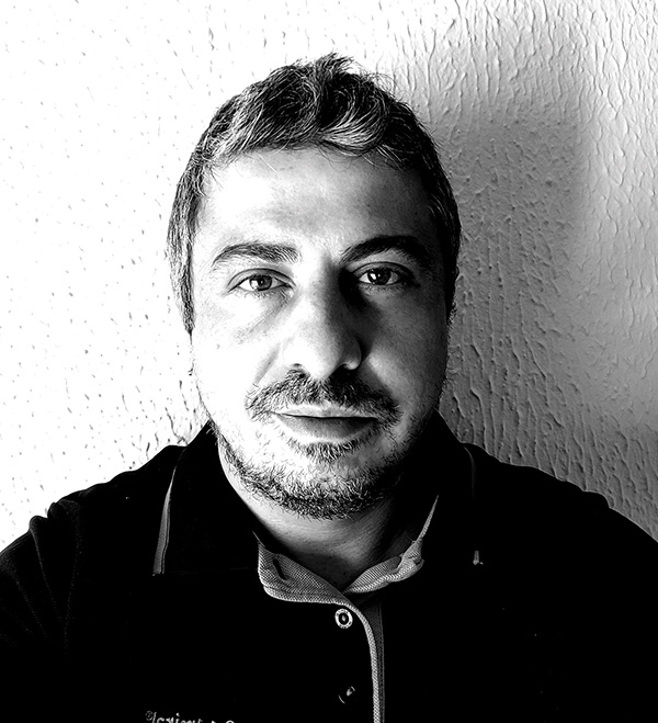
Georgios Ovakoglou (https://orcid.org/0000-0001-7195-6112) is a Geoinformatics and Surveying engineer, with a specialization in Geographical Information Management and Applications (MSc. Utrecht University, the Netherlands). His research interests include the application of Remote Sensing and GIS (spatial analysis, geocomputation, spatial statistics) in environmental planning and risk assessment, agricultural and natural resources monitoring, as well as modeling vegetation, land and soil parameters using Earth Observation timeseries of data. Over the years, he has been involved in high quality geographical research through national and EU projects, which led to authoring and co-authoring several scientific publications in journals and conferences.
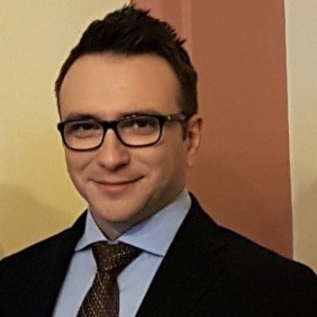
Dimitrios Kasampalis (https://gr.linkedin.com/in/dimitris-kasabalis-a7a95832) holds a bachelor degree in Forestry and a MSc in Conservation of Biodiversity, currently he is a PhD candidate in the Lab of GIS and Remote Sensing of School of Agriculture in Auth. His research interests include species distribution modeling, crop growth modeling, change detection, data science, Remote sensing and GIS. During his MSc he developed an algorithm for detecting the similarity index of beech forests in Greece by measuring beta diversity and using GIS and Species Distribution Modeling. He has experience in proposal preparation for EU funding programs such as LIFE. Additionally, he has over 3 years’ professional experience working in the private sector as a project manager and GIS and Remote Sensing analyst in various companies.
Afroditi-Alexandra Tamouridou has an MSc in Soil Science and Soil Resources Management and is an expert in Geographic Information Systems, Remote Sensing, Spectroscopy and Artificial Neural Networks and Deep Learning. Her MSc Thesis concerned early disease detection from optical sensing for real-time disease mapping in precision farming robotic disease detection at an early stage resulting in 2 journal publications. She has contributed in developing a smartphone app for fungal leaf disease recognition via fusion of one-class classifiers based on textural changes in crops resulting in another 2 journal publications. Her research interests include precision farming, plant stress detection, weed detection, disease monitoring, machine learning and robotic agriculture. She has in total 4 papers in scientific journals (2 under review).
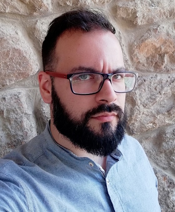 Ioannis Navrozidis is an Agricultural Scientist and holds an MSc in Soil Science and Soil Resource Management. His MSc thesis was related to spectroscopic and remote sensing methods for detecting and mapping plant diseases. He is currently a PhD student at the Lab of Remote Sensing, Spectroscopy and GIS of the Aristotle University of Thessaloniki, researching data analysis methods for remote and proximal sensing data (multispectral & hyperspectral) to detect stress factors in crops. He has work experience in the implementation of EU research programmes concerning the application of innovative technologies in precision farming. His research interests include Spectroscopy, Precision Farming, Remote Sensing, Image Analysis and Plant Phenotyping. His work has been published in 4 peer-reviewed scientific journals and has been presented in 3 scientific conferences.
 Charalampos Iordanidis is an applied informatics and IT specialist with an MSc in Soil Science and Soil Resources Management. He is an expert in design and development of open source e-platforms, participatory Open source WebGIS, applications and websites. His MSc Thesis concerned the development of an interactive web platform for imaging and processing of digital thematic background layers with application on agro-environmental data. His work has been published in a scientific journal, a book (https://www.lap-publishing.com/catalog/details//store/gb/book/978-3-330-05670-1/open-source-e-platform-development) and several peer-reviewed conferences.
